
Jump to Page : -1- 2 3

|
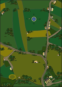
Map of the Ballykilcline Region
This is a reconstructed map I made of the area that we were digging in, as we figured it would have been in the early 19th Century. Down in the lower right hand corner you can see a large yellow colored house...this is the Glebe house. The family that owns the land that the Ballykilcline dig is on also own and live in the Glebe house today, and were also kind enough to feed us lunch at the house every day we were on the dig! In the lower left hand region of the map you can see a grass colored double ring or donut...this was the ring fort that was nearby in the field that we were digging in. Near the lower middle area on the left hand side you can see a side road branching off from the main road - that first cottage along the side road was the cottage we were excavating!
|

|
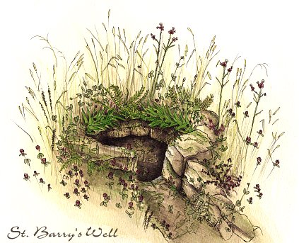
Saint Barry's Well
This is a painting of a local holy well on the shore of Lake Kilglass, near our excavation site.
|
|
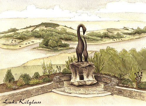
Lake Kilglass
This is Lake Kilglass, as viewed from the steps of the Kilglass cemetery. In the foreground you can see a monument of some swan like creatures...this was a monument erected in 1999 in memory of those who died in the famine, those who suvived them, and their continuing spirit. The monument stands for peace and the nurturing of spirit.
|
|
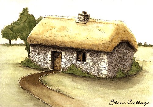
Reconstructed Cottage
Here we have a reconstruction of a small cottage in the Ballykilcline area. Although this was not the cottage that we were excavating, it would have likely resembled this one in it's build and appearance. All that was left standing of this little house were the end walls and parts of the front and back walls, but from that I was able to place the doorway and window where they used to be and estimate the overall size of the house. It probably would have had a small garden in back where the lady of the house would have grown food for the family.
|
Jump to Page : -1- 2 3


artinfo@aon-celtic.com
All graphics copyright 2000, Cari Buziak
|